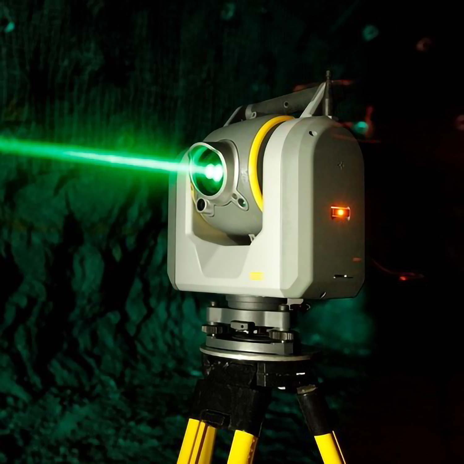
Leica Geosystems/AHAB
Technology: Airborne Bathymetric sensor optical system
Challenge: Design, source and align a system to fit in an airborne system within the required volume.
Specific resources/knowledge used: Optical design, project management, test and alignment
Airborne Hydrography AB (AHAB)/ Leica Geosystems: Develops airborne LiDAR survey systems for bathymetric and topographic surveys. Long-term partner to Eclipse.
Read more about Leica Geosystems Hawkeye Bathymetric sensors here
Category:
Date:
5 april 2023